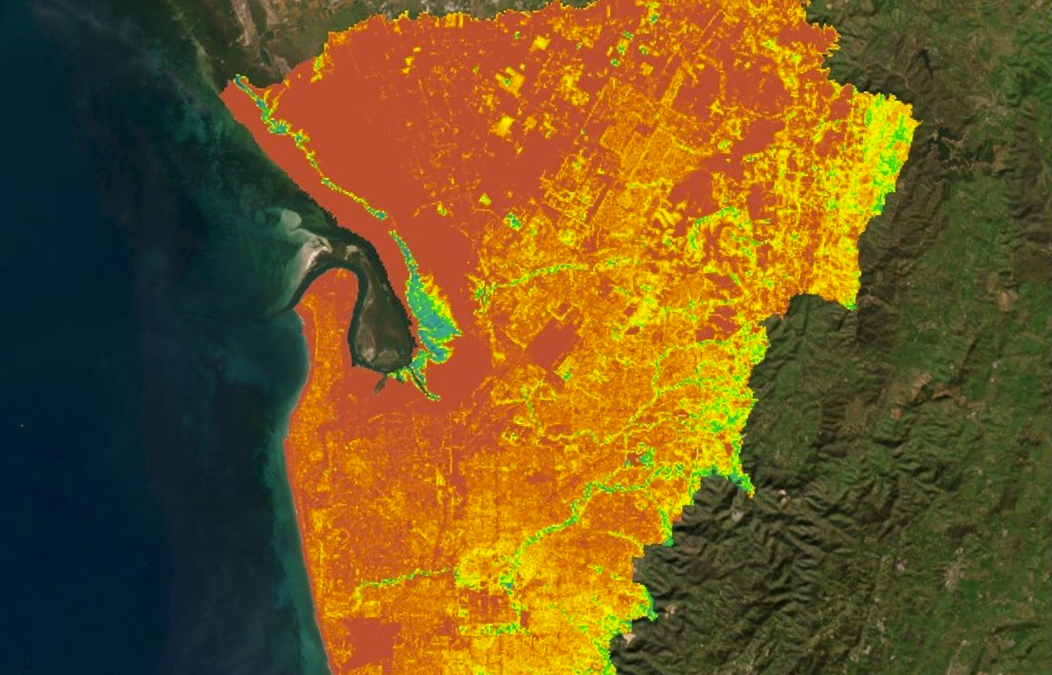
The Urban Heat and Tree Canopy Mapping, led by Green Adelaide, is the first where state and local government have partnered to capture tree canopy data for the entire Adelaide metropolitan area providing a regionally consistent dataset and a full picture of tree canopy levels.
The study showed approximately 17% of metropolitan Adelaide is covered in tree canopy. This represents an increase of nearly 4% compared to similar surveys in 2018 and 2019, but still falls below the widely accepted target of 30% for urban areas.

This project was led by Green Adelaide in partnership with the Department for Environment and Water, and 18 local governments across metropolitan Adelaide, the Department for Infrastructure and Transport and Preventive Health SA.
“This has been a fantastic collaboration with all of Adelaide’s metropolitan councils, and it gives us a single point of truth to guide our greening initiatives, particularly the state’s first ever Urban Greening Strategy, which is soon to be released for public consultation.”