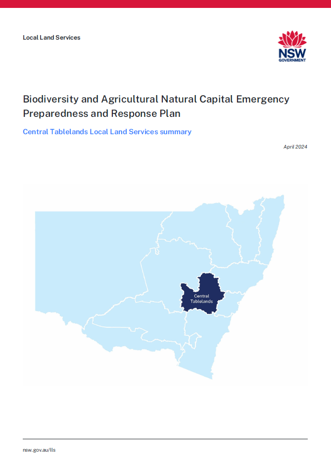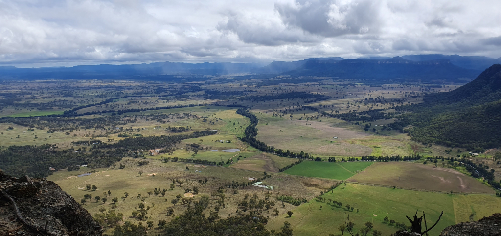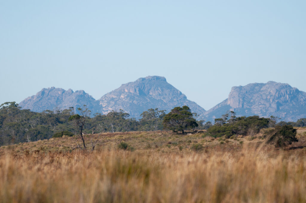
The Central Tablelands region is located in central NSW and covers an area of approximately 31,365 km2. It includes the major towns of Bathurst, Blayney, Cowra, Lithgow, Molong, Mudgee, Oberon and Orange. It sits predominantly within Wiradjuri Aboriginal Country and encompasses 8 Local Government Areas.
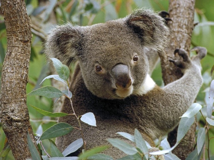
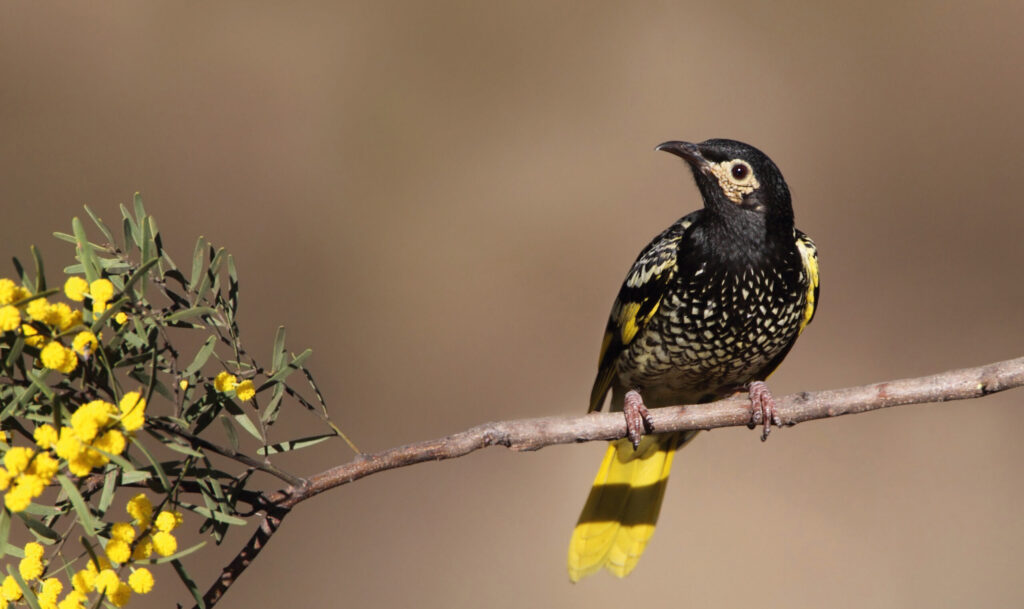
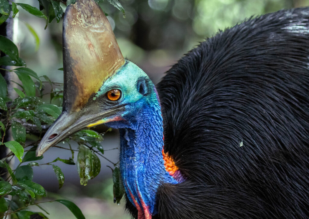
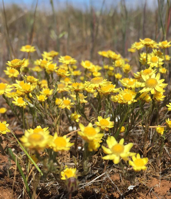
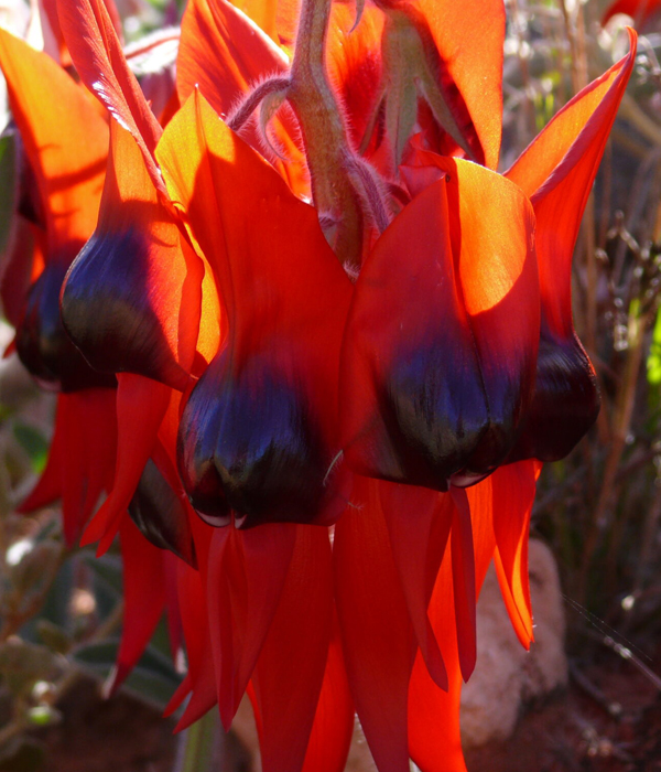
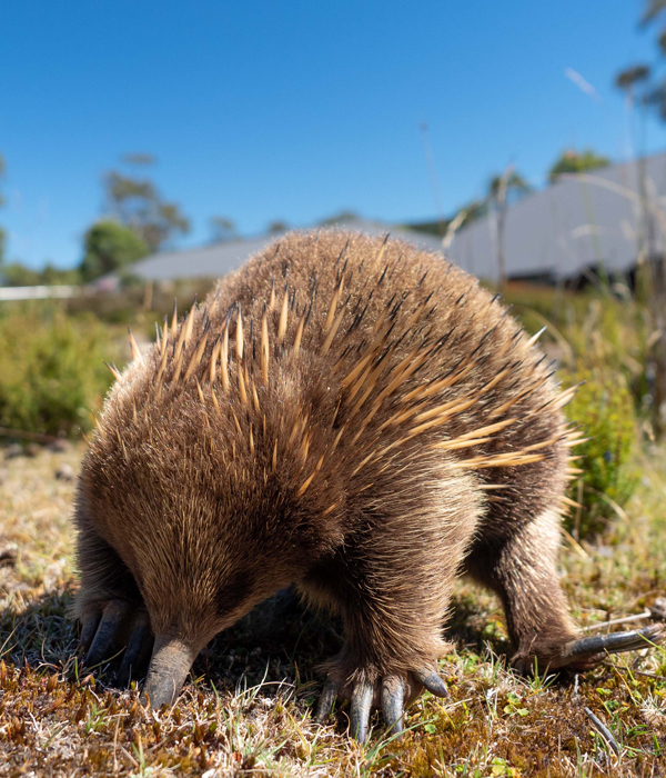
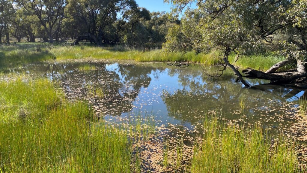
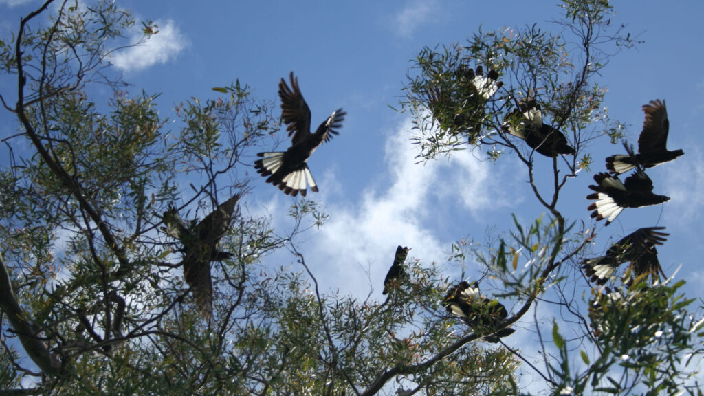
The area has a number of natural resource assets such as national parks and culturally significant areas, and is home to a vast range of native plants and animals, some of these listed as threatened or endangered. The region comprises 3% of the Murray-Darling Basin.
The Central Tablelands is home to more than 156,000 residents, including a First Nations population of 7,012 (4.5% of the population). Properties in the area contribute 4.2% of NSW’s annual value of agricultural production and almost 10% of NSW’s agricultural business. The area contains 3.2% of NSW’s agricultural land. Around 7% of the population is employed in agriculture, fisheries and forestry.
The region has a diverse range of industries, including:
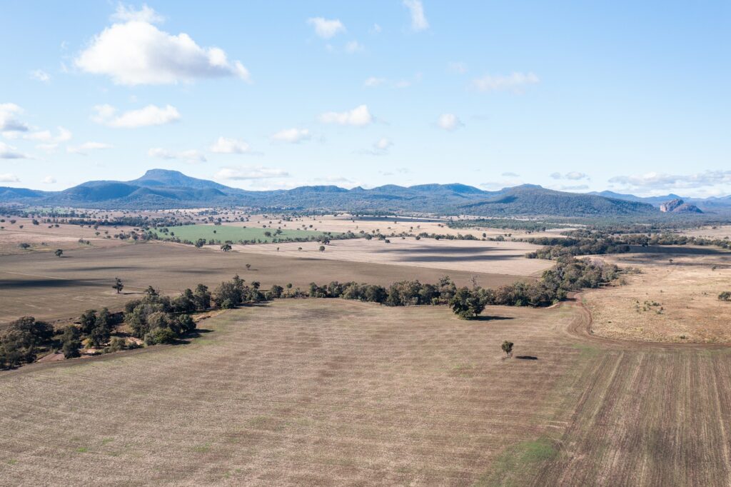
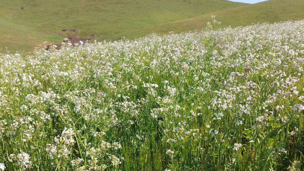
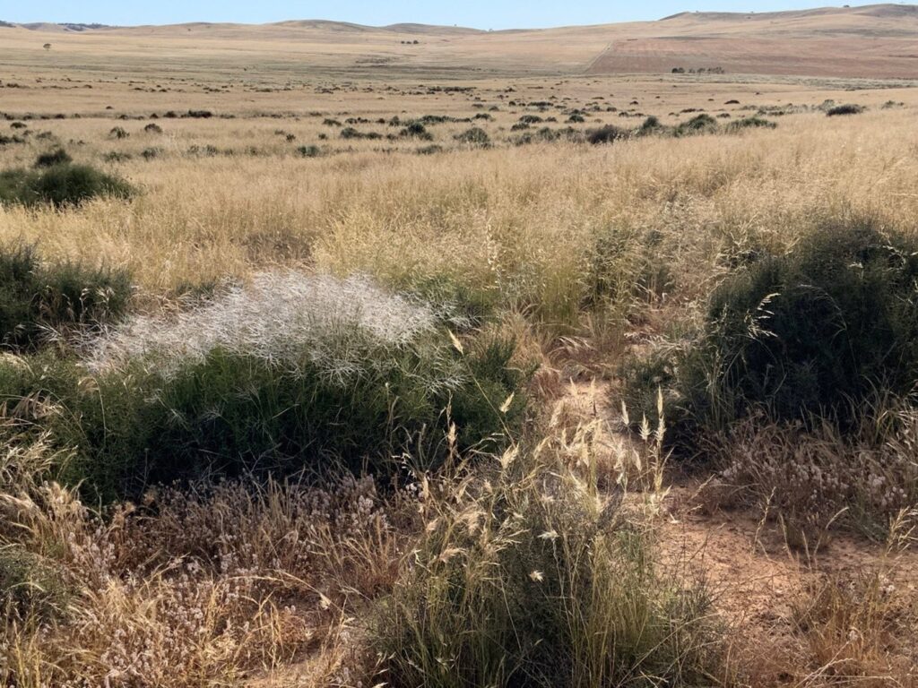
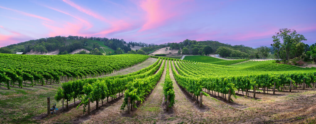
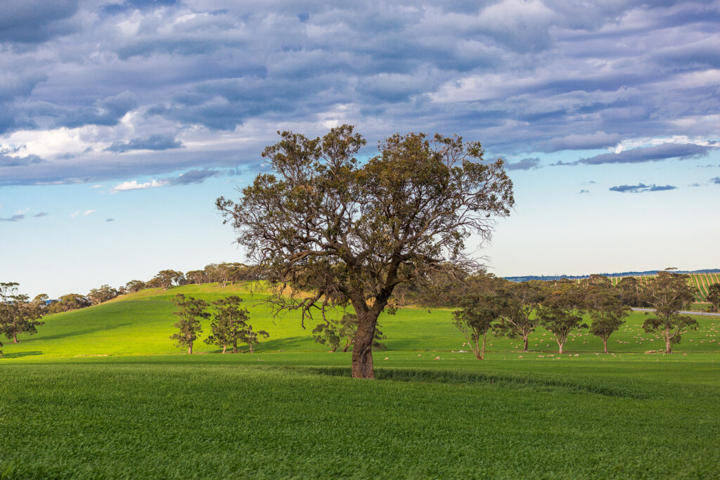
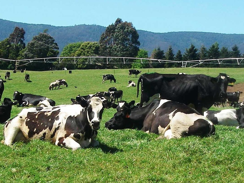
Agriculturally, the region is highly diverse, adding to the complexity of natural resource management issues. Evenly spread summer and winter rainfall supports productive cropping systems. Grazing has the most significant land use followed by irrigated farming, broadacre crops and horticultural enterprises, including areas of fruit and vegetable growing and viticulture.
Our region is home to around 7,012 First Nations people (4.5% of the population) and sits predominantly within Wiradjuri Aboriginal Country.
Our region aligns mostly with Local Government Area boundaries and includes the shire councils of:
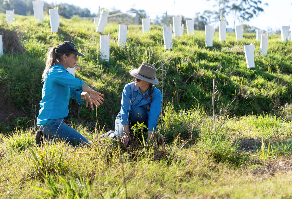
We work with the communities of our region to restore and protect our natural and productive landscapes and waterways.
Central Tablelands’ contributions to NRM shared knowledge across Australia
Central Tablelands’ contributions to our national NRM snapshots