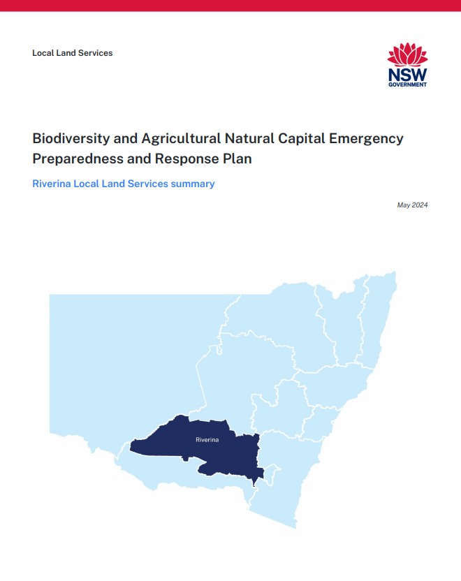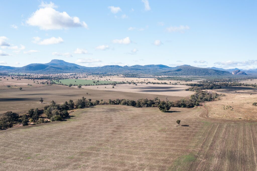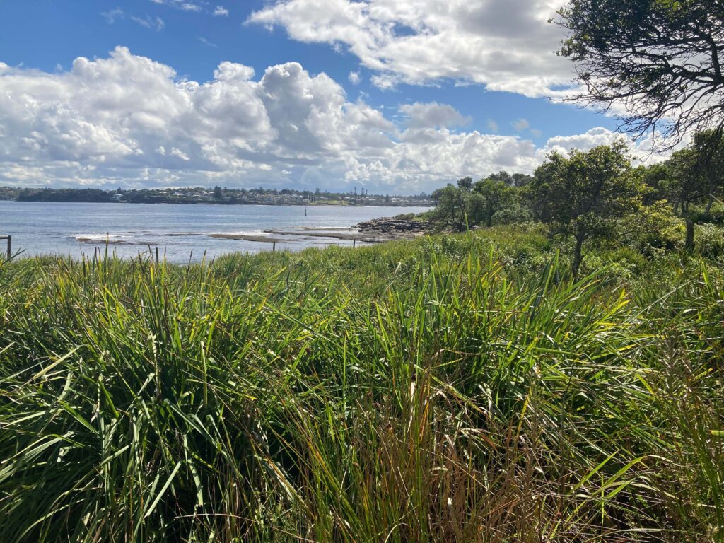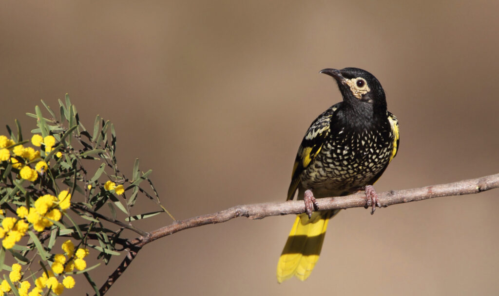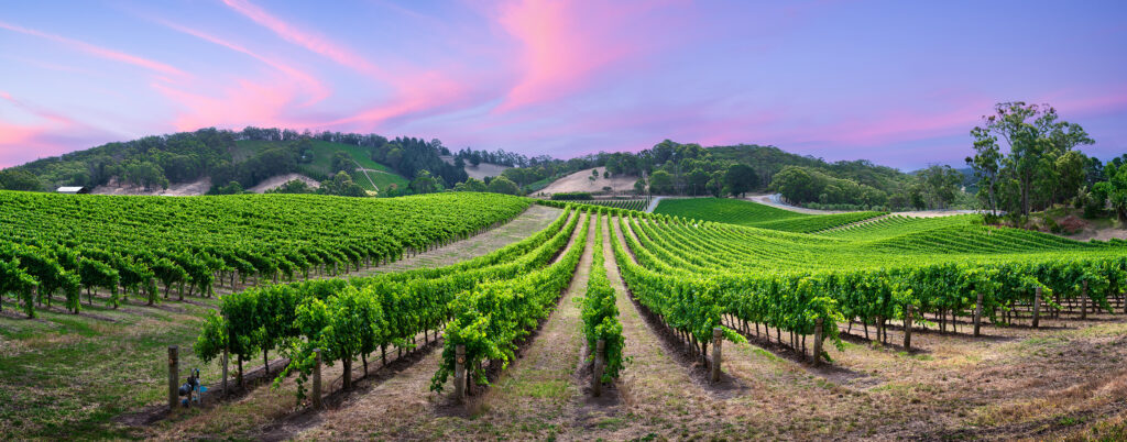
Riverina Local Land Services (LLS) is bounded by Harden in the east, Hay in the west, Hillston in the north and Lockhart in the south. The area covers around 67,000 square kilometres (6.7 million hectares) of land and is serviced by 17 Local Governments serving more than 155,000 people. Wagga Wagga is the largest centre in the Riverina LLS region.
Communities in the region see agricultural production as important to the country’s food security and work towards being resilient to climate variability and the changing economy.
The Murrumbidgee River winds through the region and is the second largest river of the Murray–Darling system. The word Murrumbidgee means ‘big water’ in the Wiradjuri language.
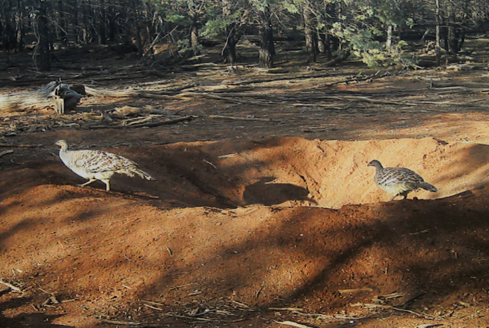
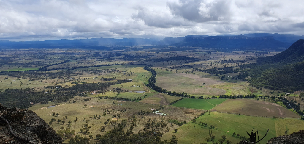
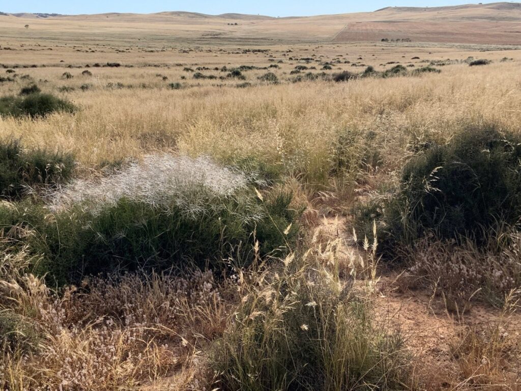
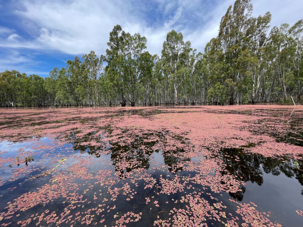
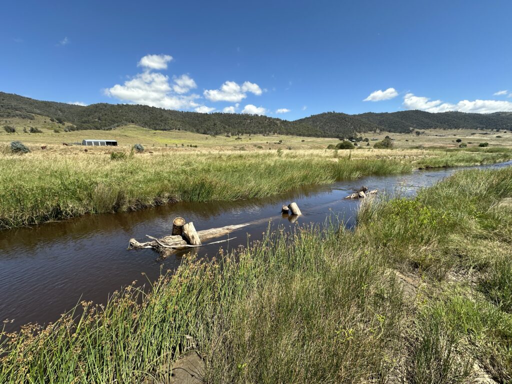
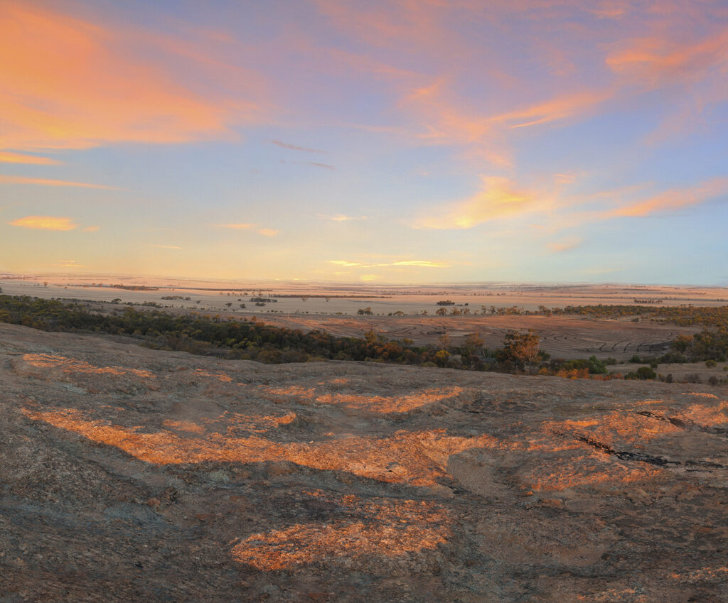
There are 6 unique landscapes in the Riverina LLS region, which are consistent with how communities relate to their landscape:
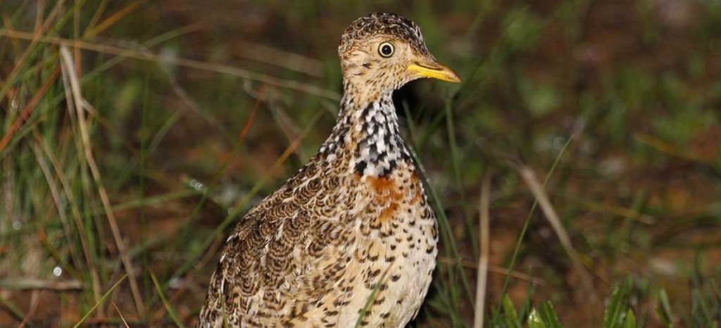
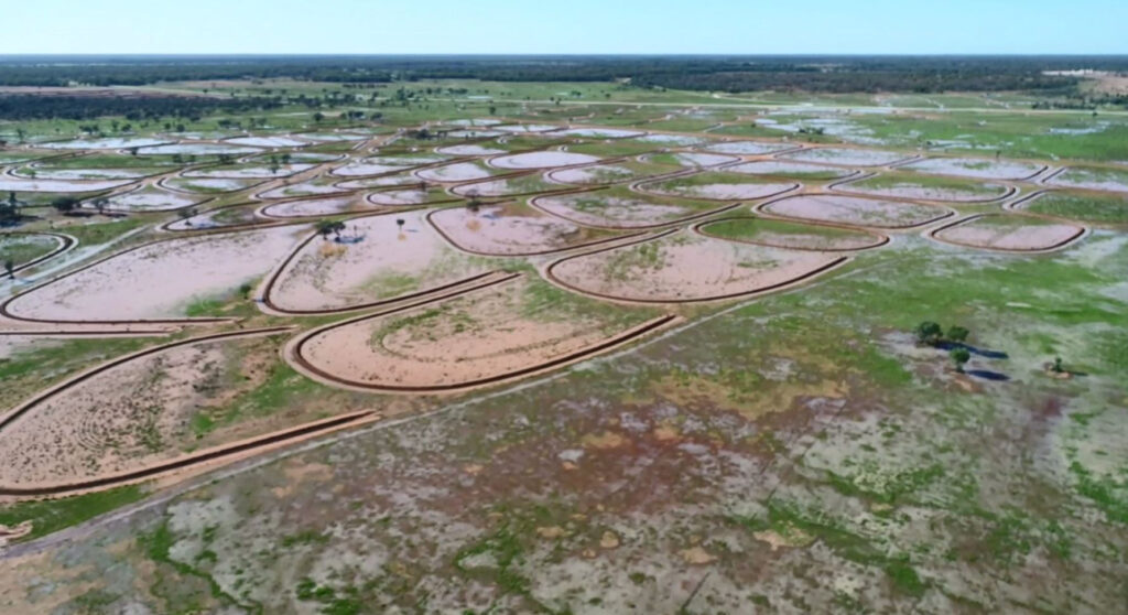
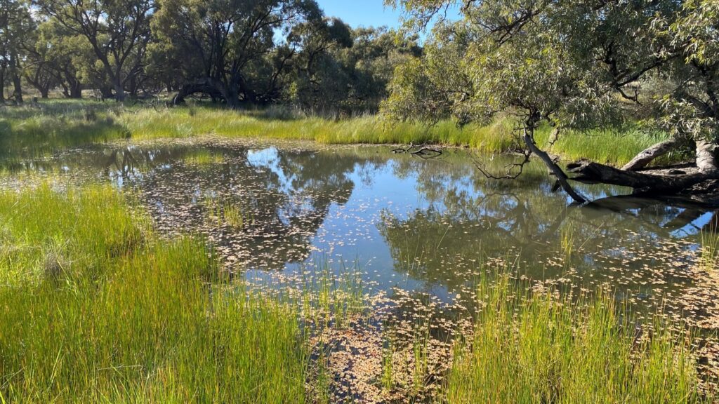
Many natural assets of international and national importance are found in the area serviced by Riverina LLS, including the Ramsar listed site Fivebough and Tuckerbil wetlands found near Leeton and numerous national parks and reserves.
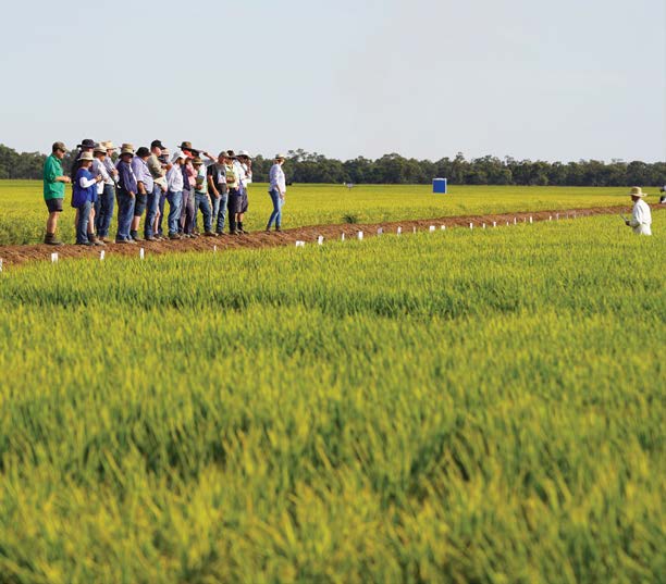
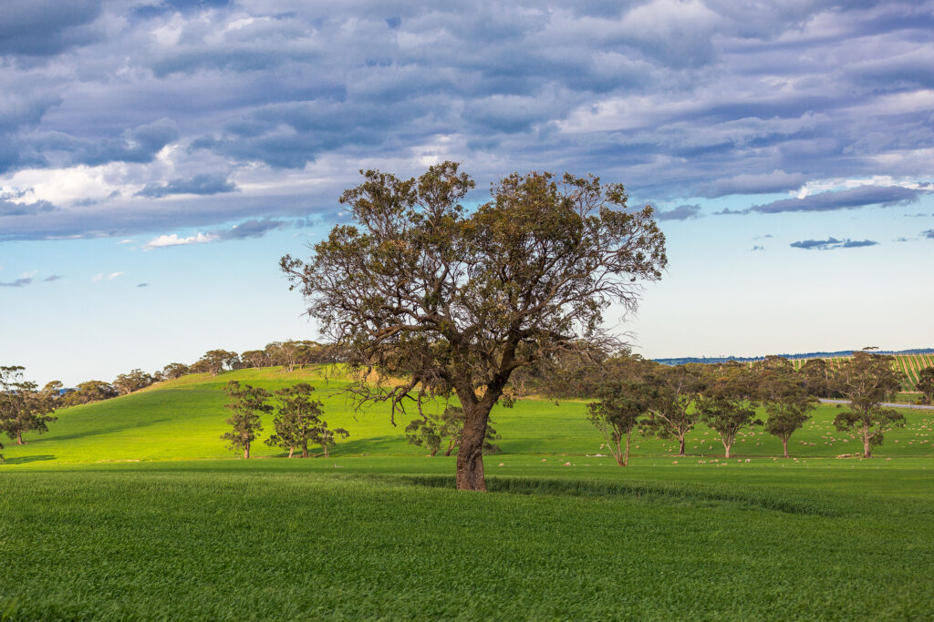
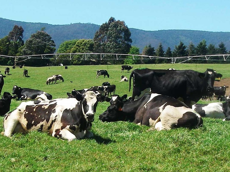
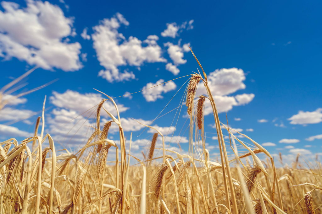
Land use in the Riverina LLS area is mainly agricultural with dry land grazing and cereal based cropping accounting for more than 80% of land use. Irrigation farming in the region covers more than 5% of the area.
Riverina contributing to natural resource management outcomes
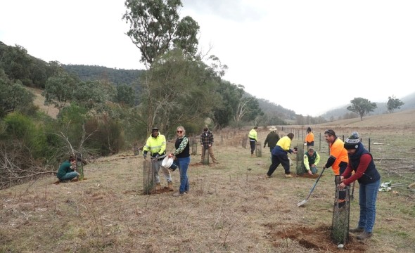
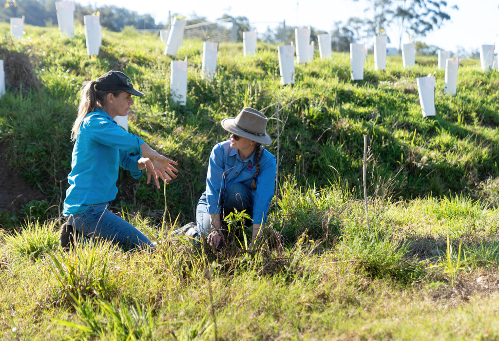
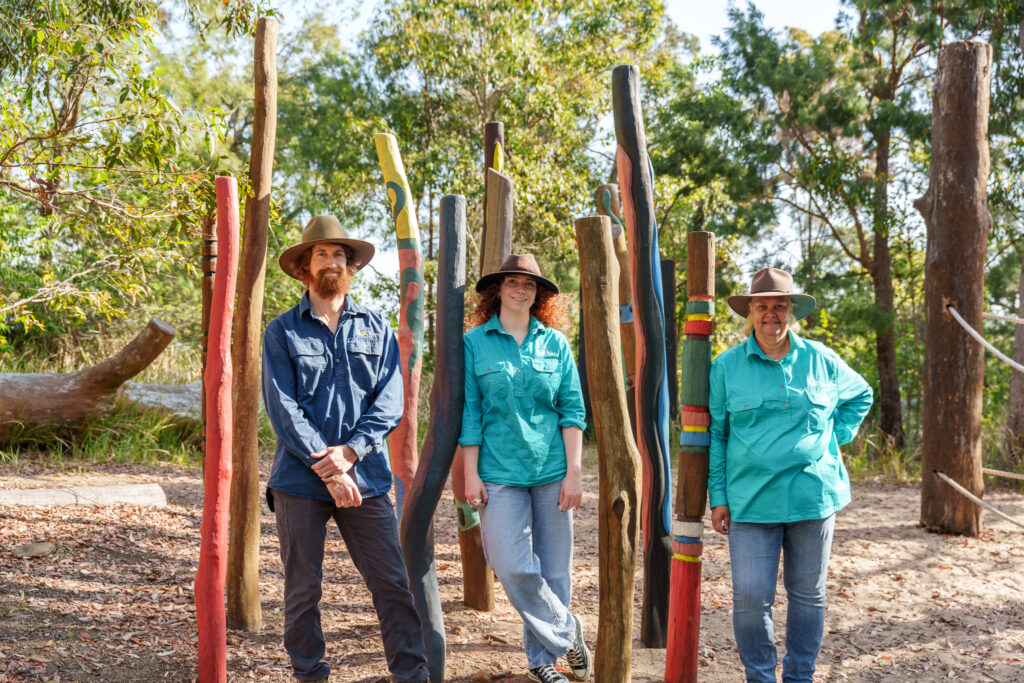
We work with the communities of our region to restore and protect our natural and productive landscapes and waterways.
Riverina’s contributions to NRM shared knowledge across Australia
Riverina’s contributions to our national NRM snapshots