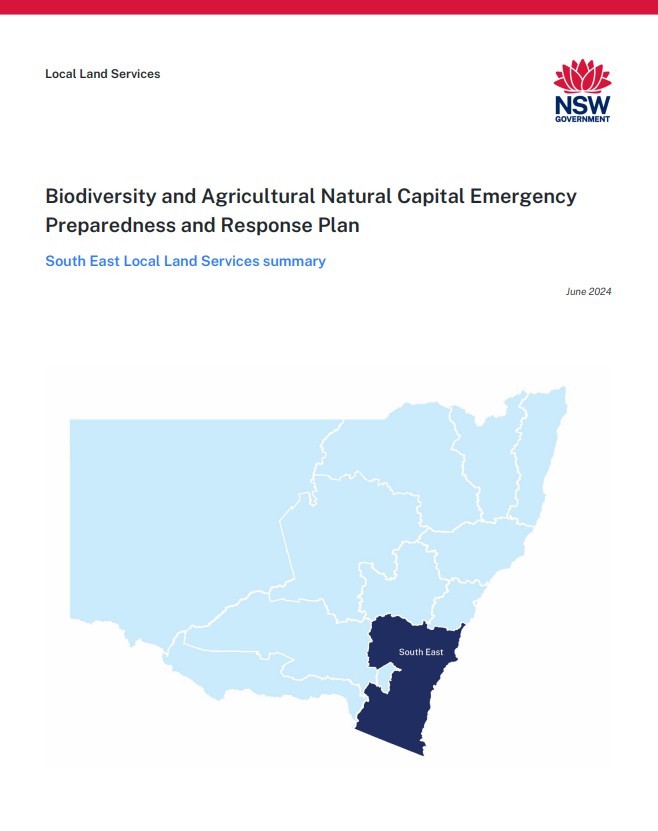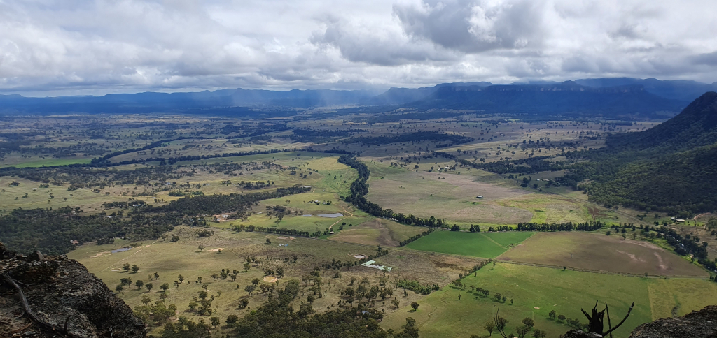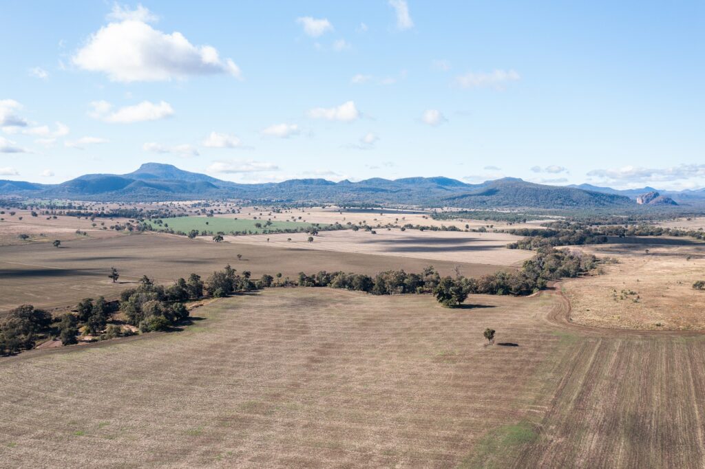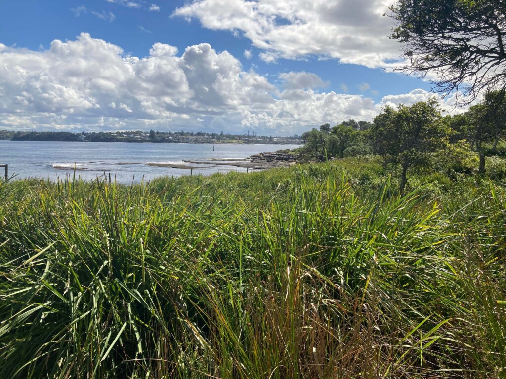
South East Local Land Services (LLS) covers 55,600 km2 of south-east NSW from Stanwell Park in the north to the Victorian border in the south and westward from Boorowa in the north to Thredbo in the south. It covers 698 km of coastline or 40% of the NSW coast.
The South East LLS region is home to around 605,000 people, including more than 16,500 Aboriginal Australians. Most people live in regional centres along the coast, with Wollongong, Shellharbour, Kiama, Bomaderry, Nowra and Ulladulla being the largest. The tablelands regional centres include Goulburn, Yass, Queanbeyan and Cooma.
The region is home to 17 traditional Aboriginal Nations with 6 languages.
The South East LLS region has a diverse climate ranging from alpine environment to coastal areas through to grazing pastures at places such as Boorowa.
Rainfall is variable. Rain is uniformly distributed among seasons in the northern parts, slightly dominant in summer and autumn on the south coast, and dominant in spring and winter in the Snowy Mountains, Monaro and southern slopes and plains. Run-off has a distinct winter peak. Winter snowfall in the Alps is crucial to the hydrology, soils, ecology and economy of the region.
Annual regional rainfall averages 730 mm and is highest in the Snowy Mountains at over 2,000 mm. Annual totals are also high on the south coast and hinterland (nearly 900 mm), but lower on the western slopes (over 600 mm).
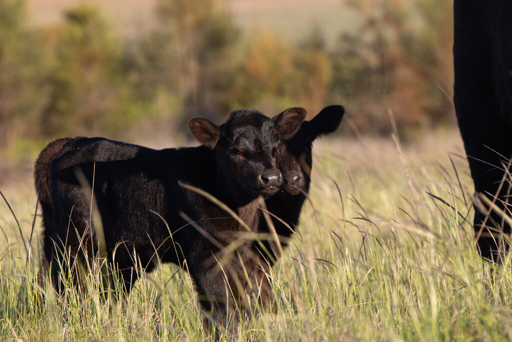
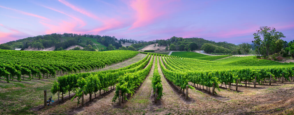
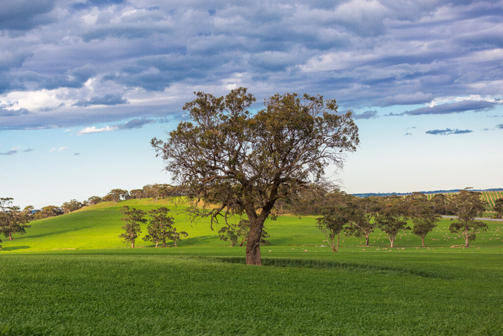
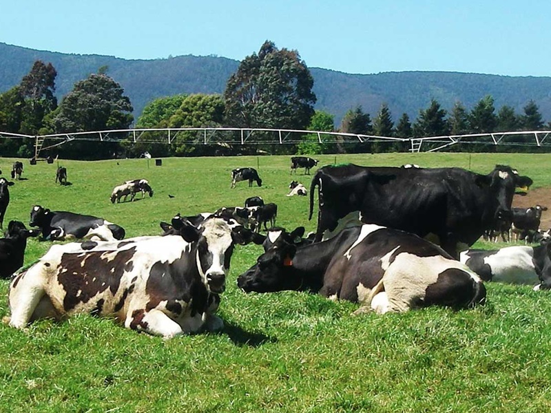
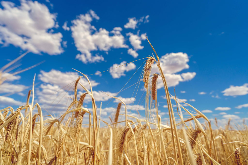
The current economic prosperity of the South East LLS region is dependent upon natural resources that support a variety of land uses, including agriculture (sheep, beef, dairy and cropping), horticulture, aquaculture, water harvesting, commercial and recreational fishing, heavy industry, forestry, surface and underground mining, urban and lifestyle development and tourism and recreation.
The coast is dominated by large tracts of public land, including national parks. Nature-based tourism is a significant contributor to the region’s economy, especially on the coast and in the Snowy Mountains.
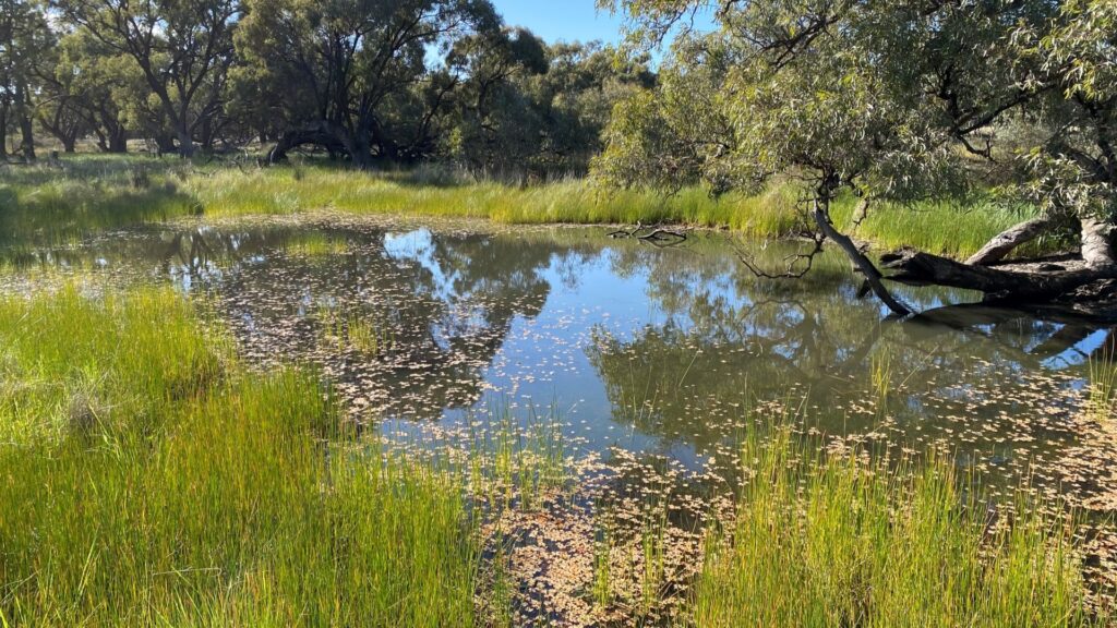
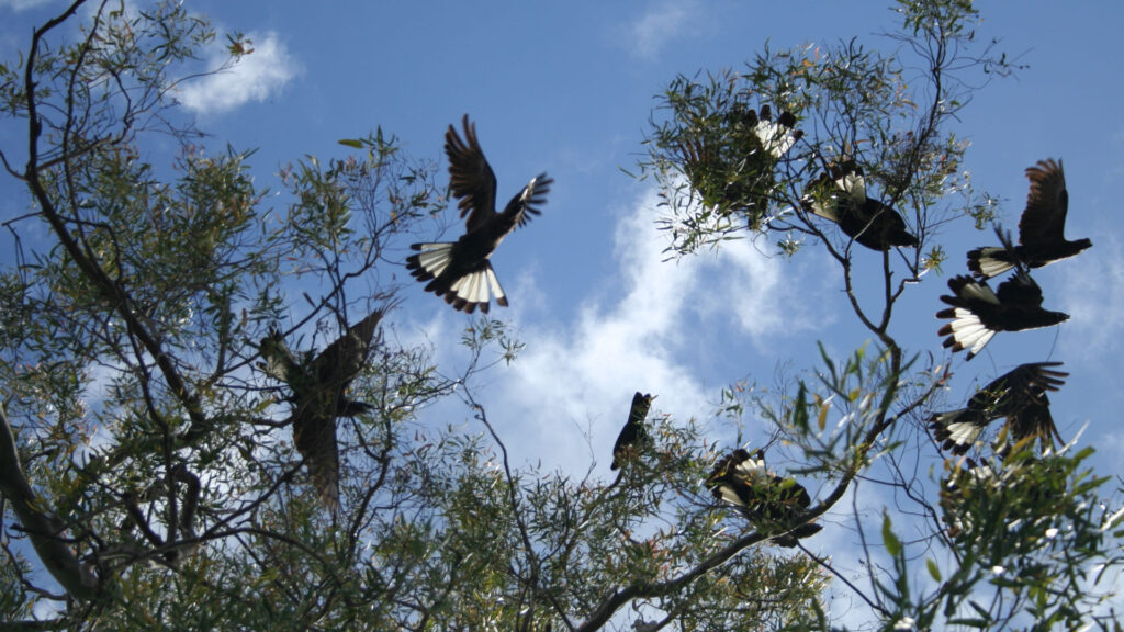
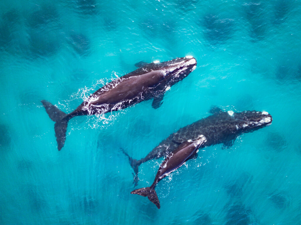
The key natural resource assets of the South East LLS region are land, vegetation, rivers, estuaries, marine, wetlands and groundwater.
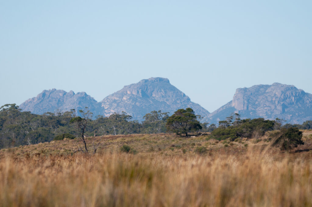
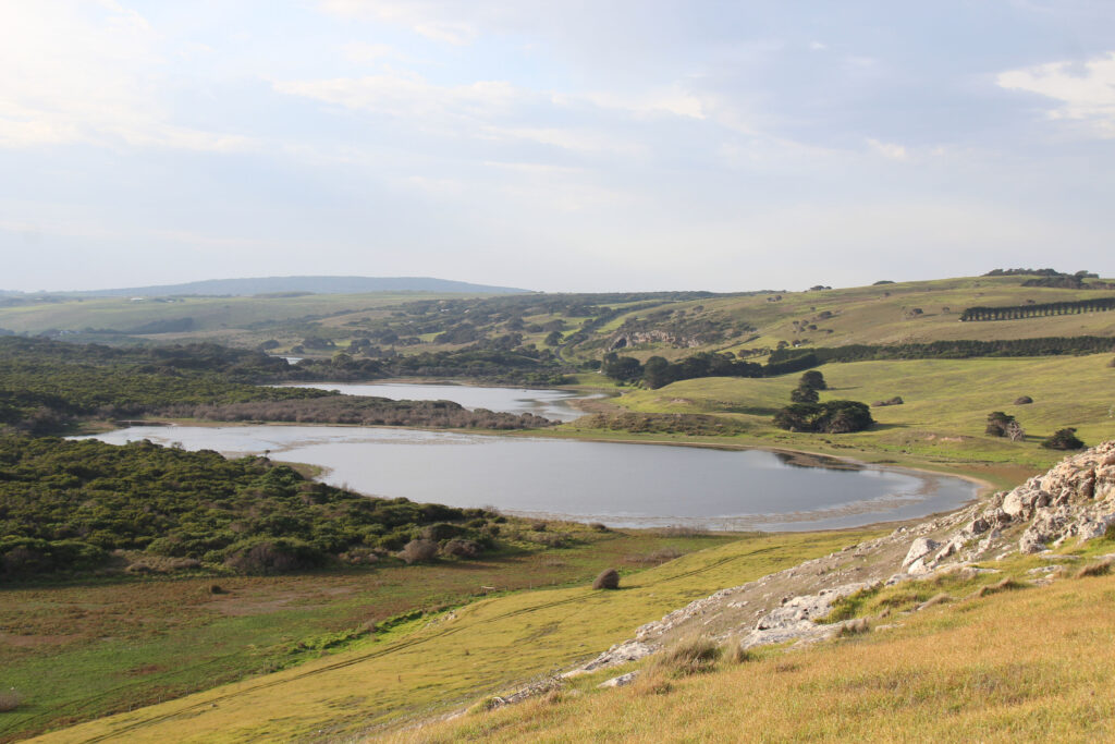
The region is located within the temperate and warm-temperate coastal lowlands, escarpment and undulating highlands and tablelands. These areas are characterised by complex patterns of terrain and geology.
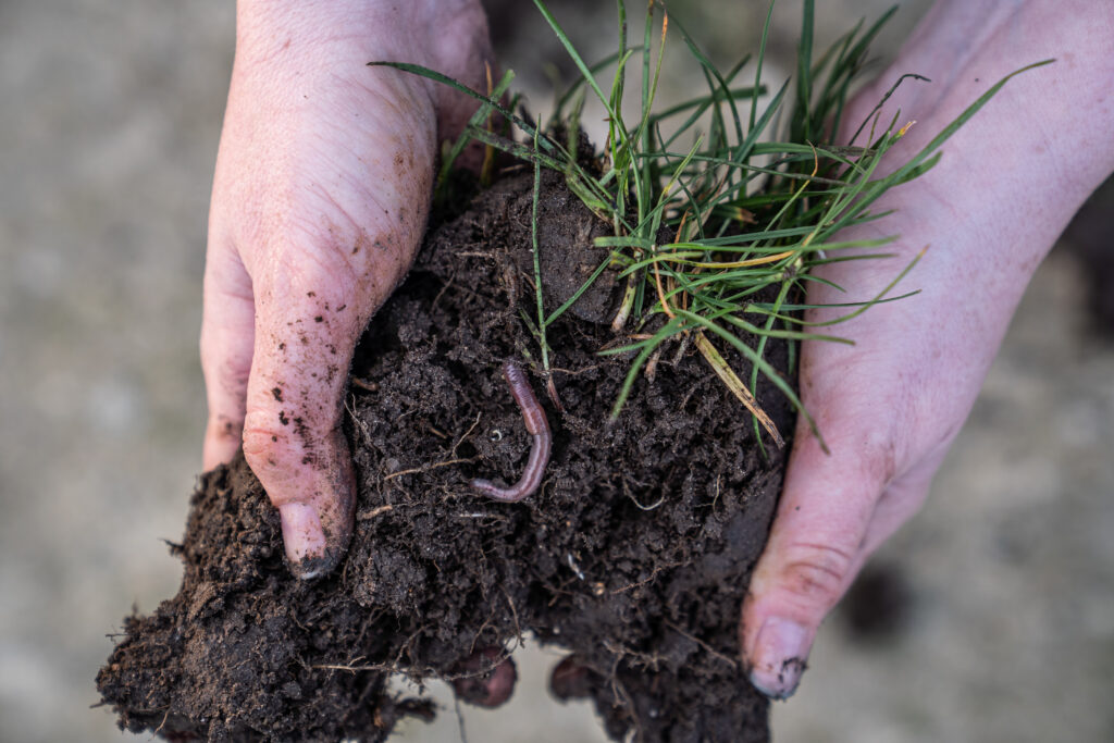
The major landscapes include fertile coastal shale-dominated plains bounded by infertile, incised sandstone scarps and plateaus in the eastern and central parts of the region. There are undulating tablelands in the west, comprised mainly of granitic and meta sedimentary substrates yielding low to moderate fertility soils, occasionally interrupted by igneous flows and intrusions of high fertility.
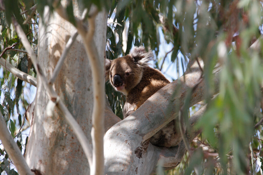
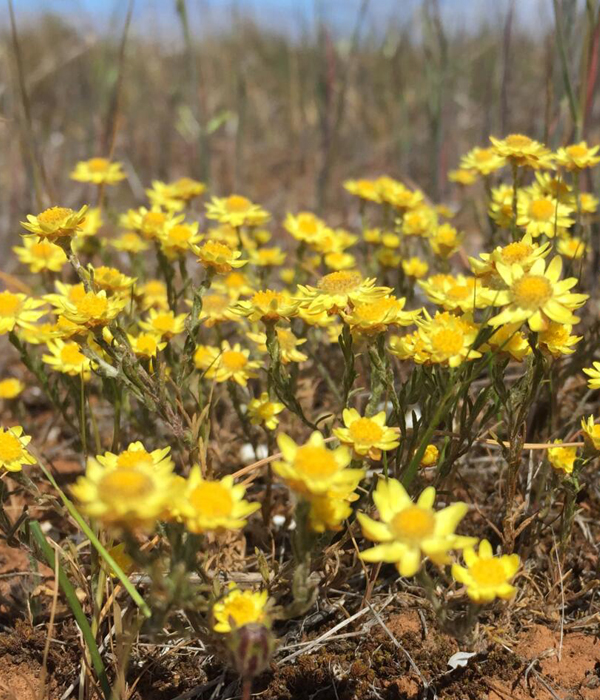
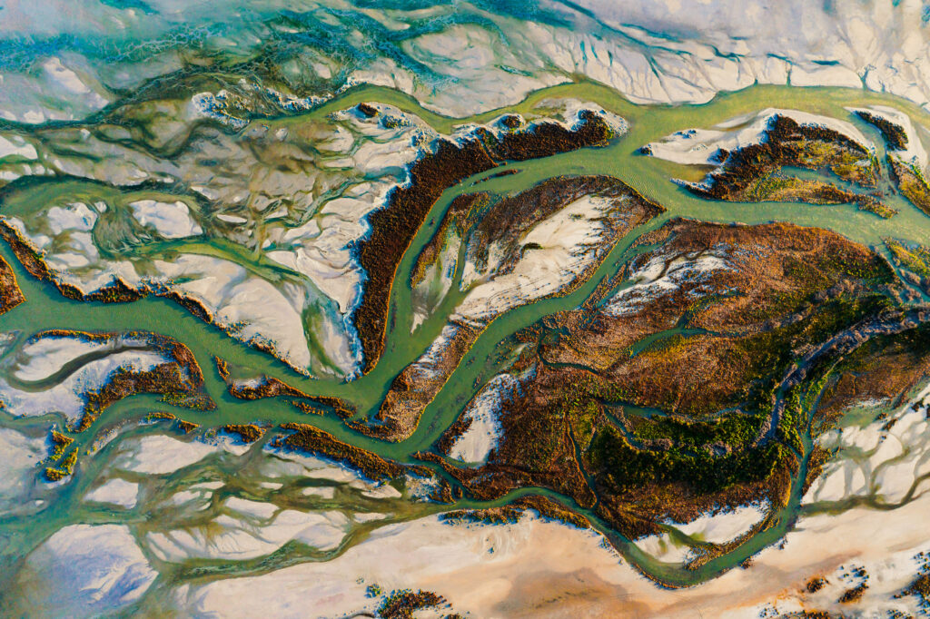
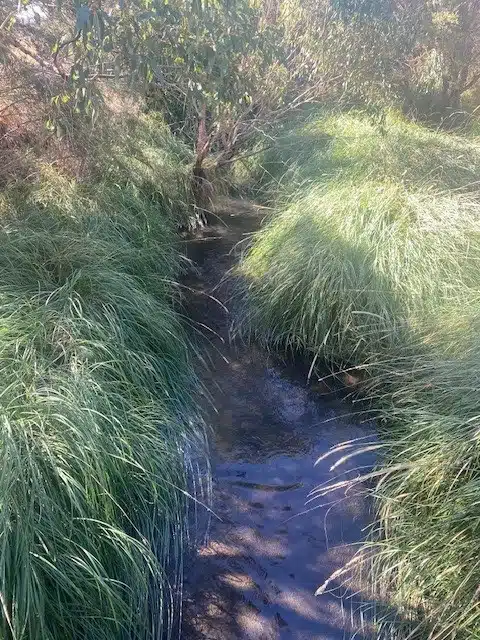
The region contains unique and varied river, estuary, marine wetlands and groundwater systems. These range from pristine natural rivers that support diverse aquatic plants and animals and productive estuaries to highly modified systems in developed urban and industrialised areas. The region’s rivers, estuaries, marine environment, wetlands and groundwater support unique and complex biodiversity and a range of agricultural, aquaculture and recreational activities.
South East contributing to natural resource management outcomes
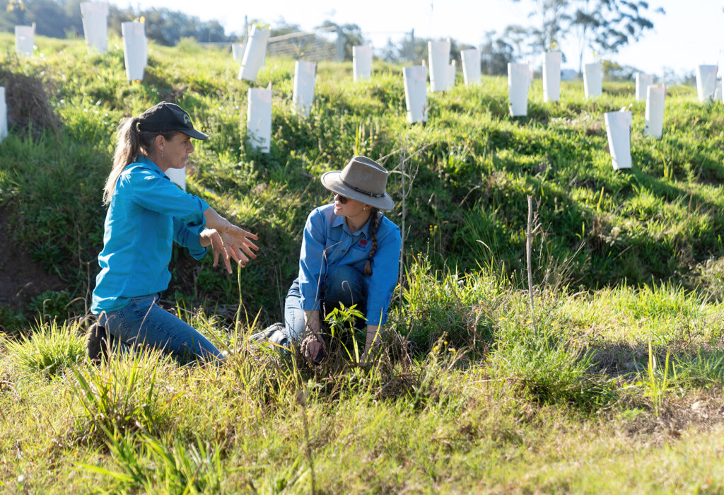
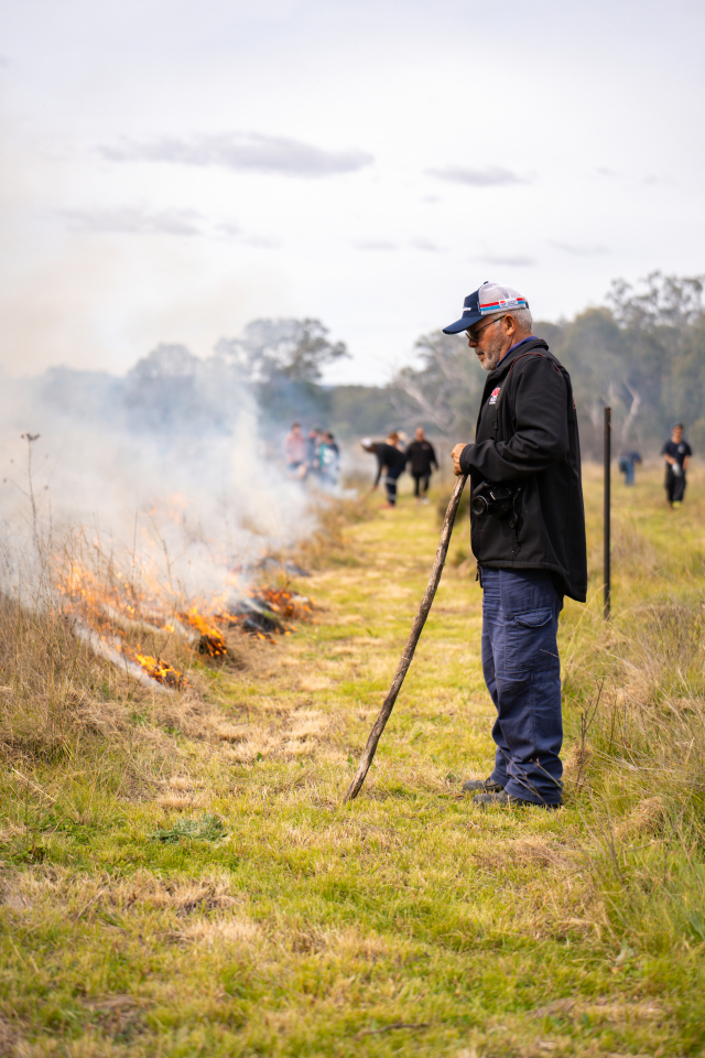
We work with the communities of our region to restore and protect our natural and productive landscapes and waterways.
South East’s contributions to NRM shared knowledge across Australia
South East’s contributions to our national NRM snapshots